On The Road: To and From Mesa Verde National Park
May 20, 2013
Drink on the plane

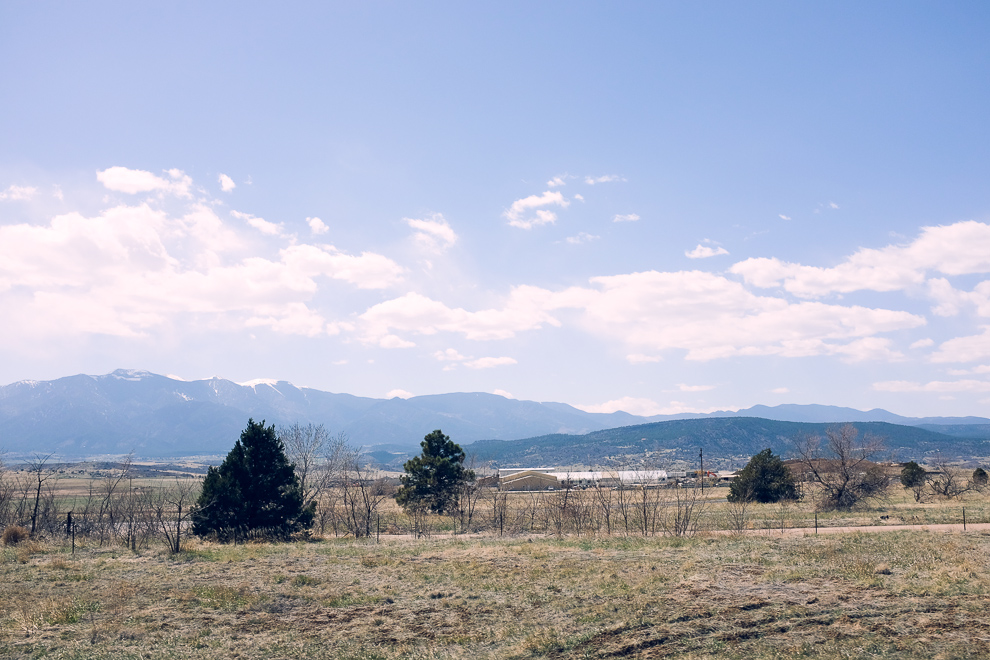
Heading south on I-25. Next exit: Walsenburg
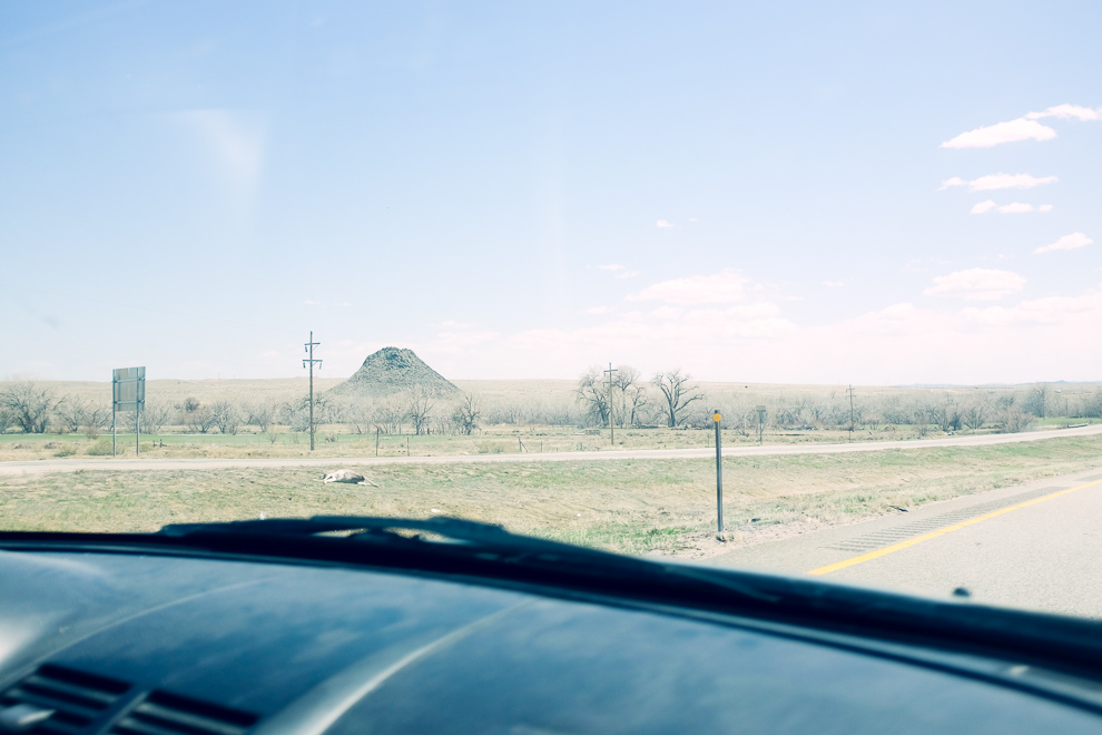
10 miles north of Walsenburg, you pass Huerfano Butte, a volcanic plug it is believed. Huerfano is spanish for “orphan”.
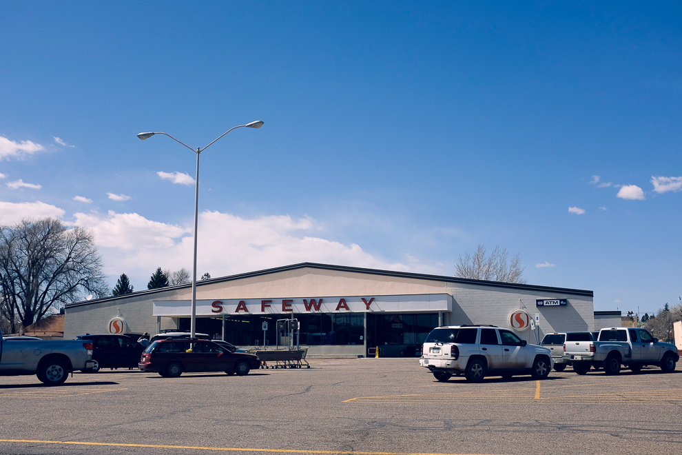
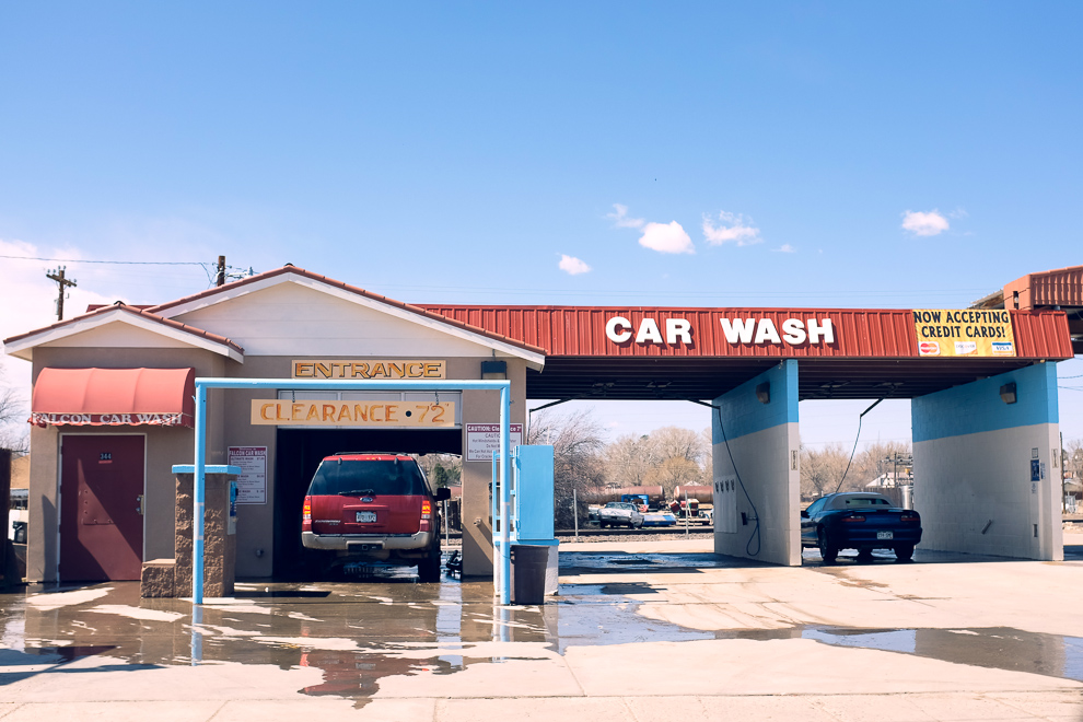
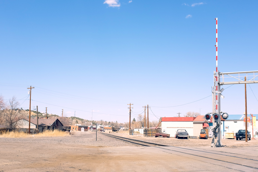
Walsenburg on a Saturday
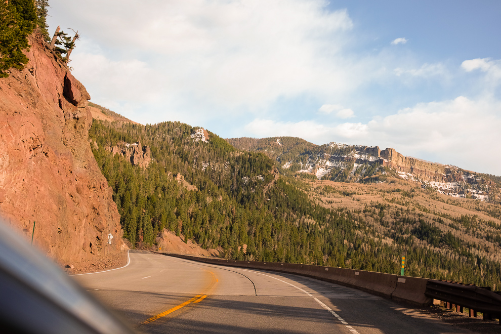
Crossing the Continental Divide at Wolf Creek Pass.
Elevation: 10,857 ft (3,309 m).
A truck passing the Wolf Creek Pass summit.
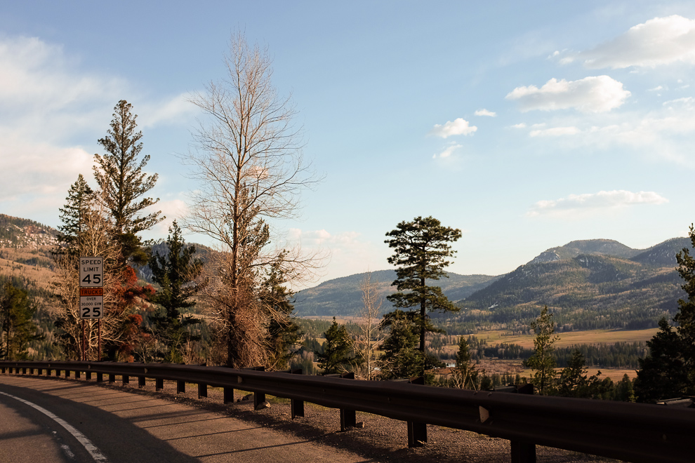
On the way down towards Pagosa Springs, a 5,000 ft drop in elevation
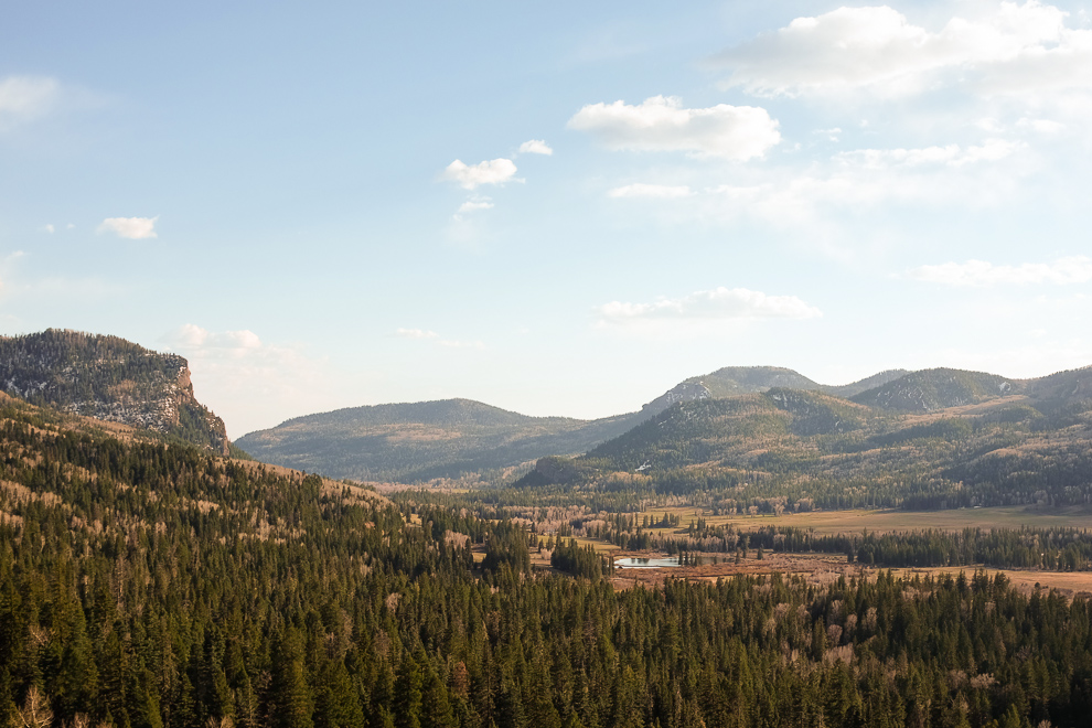
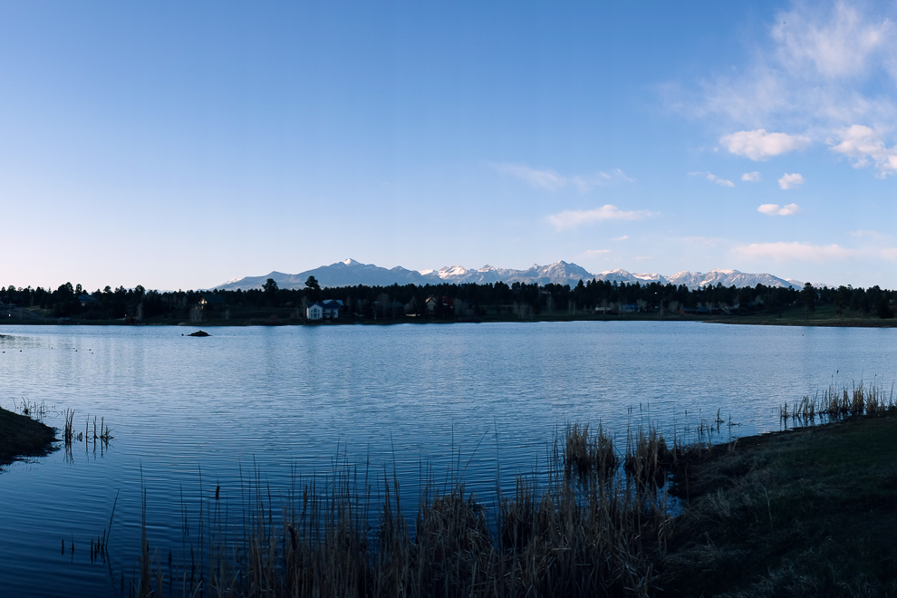
Pinon Lake Reservoir near Pagosa Springs, CO

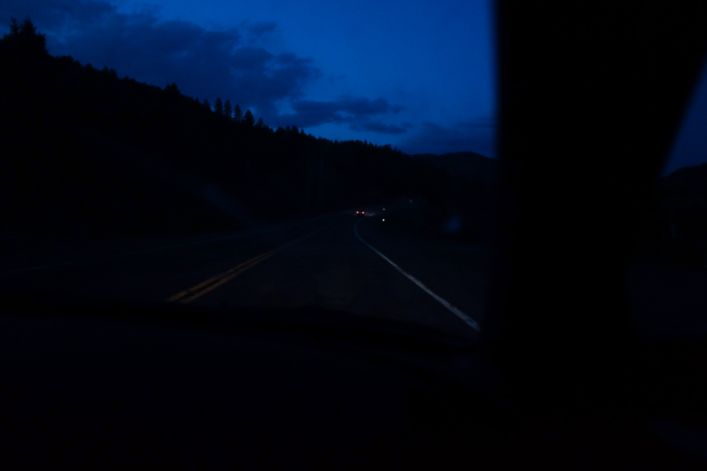
Durango at Night
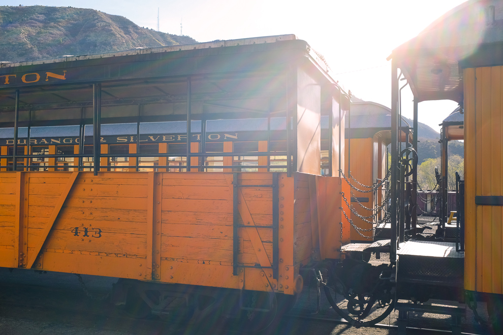
Cars of the Durango and Silverton Narrow Gauge Railroad
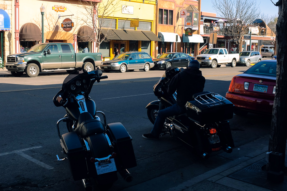
Durango

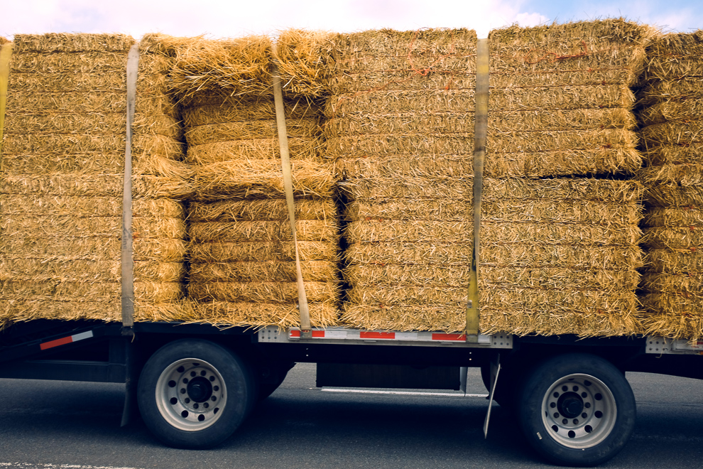
The land of pickup trucks

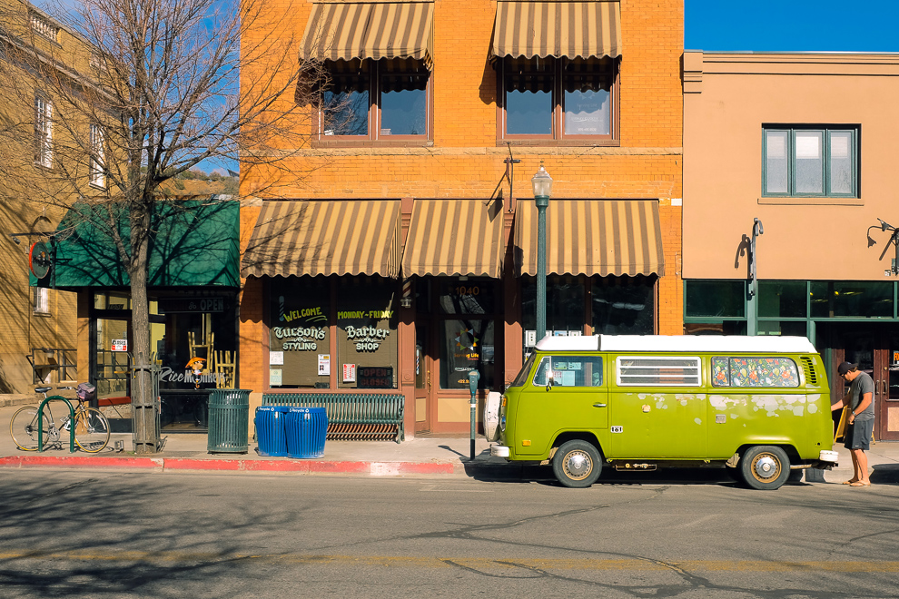
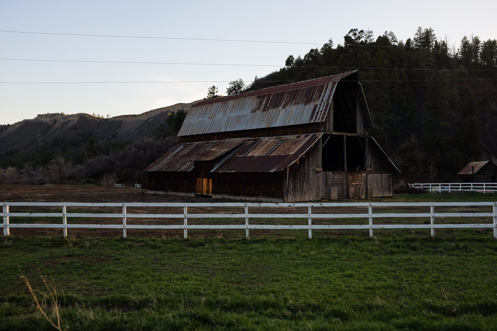
Just across the street
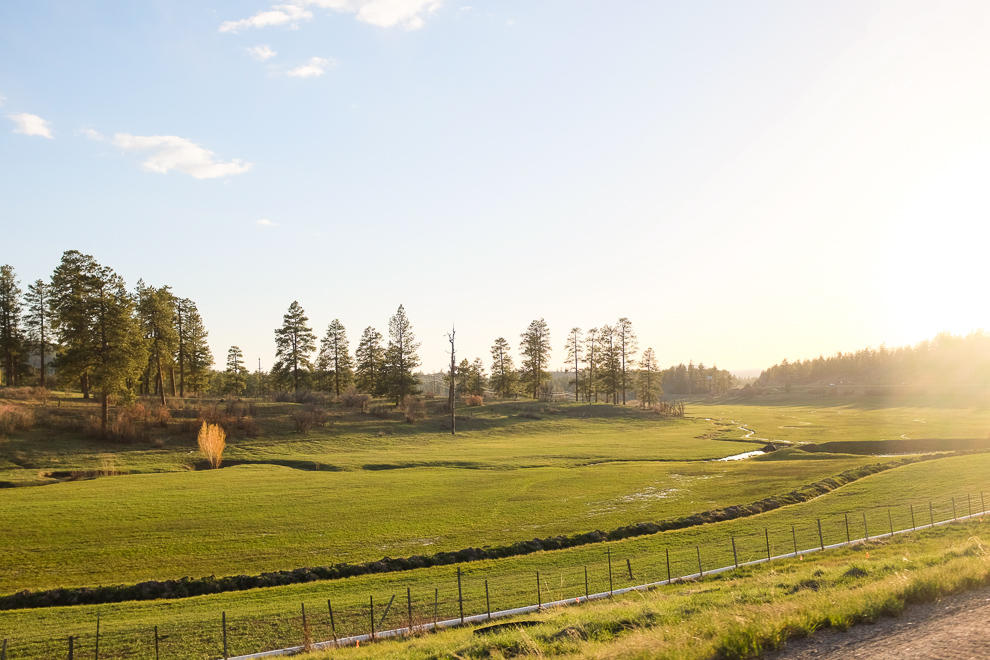
Somewhere near Pagosa Springs
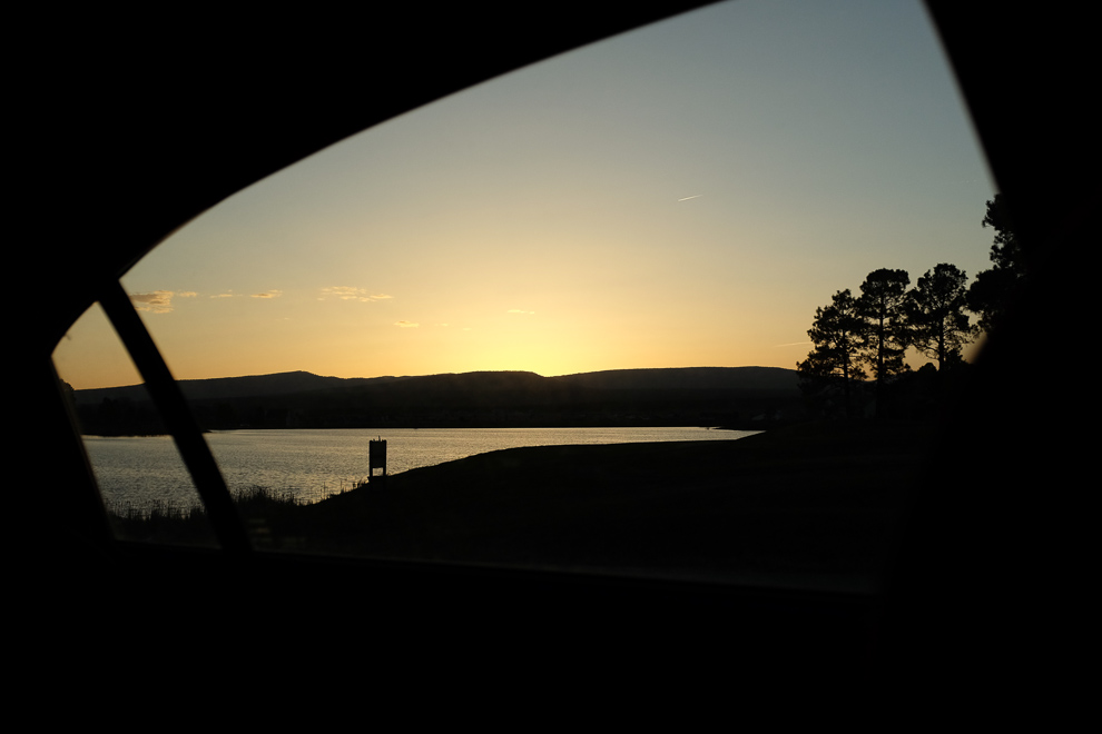
Pinon Lake Reservoir at dusk
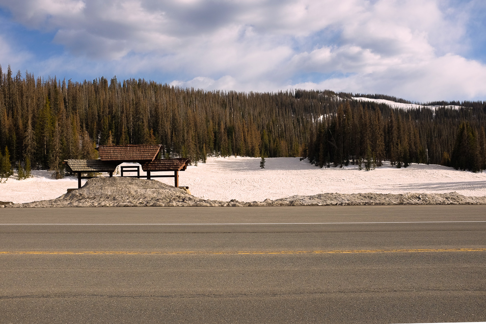
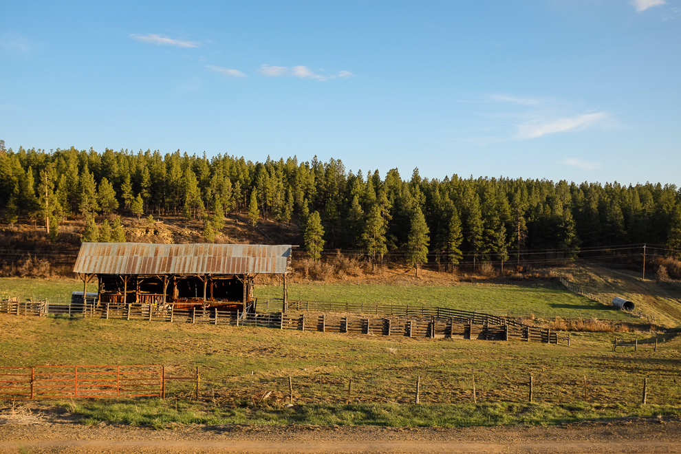
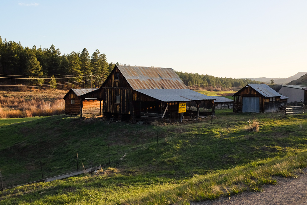
Somewhere in the Rio Grande National Forest
[google-map-v3 width=”990″ height=”350″ zoom=”8″ maptype=”roadmap” mapalign=”center” directionhint=”false” language=”default” poweredby=”false” maptypecontrol=”true” pancontrol=”true” zoomcontrol=”true” scalecontrol=”true” streetviewcontrol=”true” scrollwheelcontrol=”false” draggable=”true” tiltfourtyfive=”false” addmarkermashupbubble=”false” addmarkermashupbubble=”false” addmarkerlist=”37.626667, -104.783889{}1-default.png{}Walsenburg, CO|37.483333, -106.803056{}1-default.png{}Wolf Creek Pass|37.268056, -107.024444{}1-default.png{}Pagosa Springs, CO|37.275278, -107.88{}1-default.png{}Durango, CO|37.183784, -108.488687{}1-default.png{}Mesa Verde National Park” bubbleautopan=”true” showbike=”false” showtraffic=”false” showpanoramio=”false”]
No comments yet.